Saving the Great Salt Lake
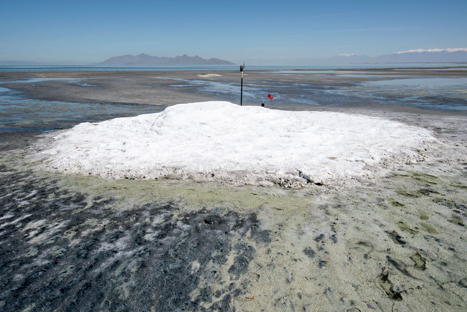
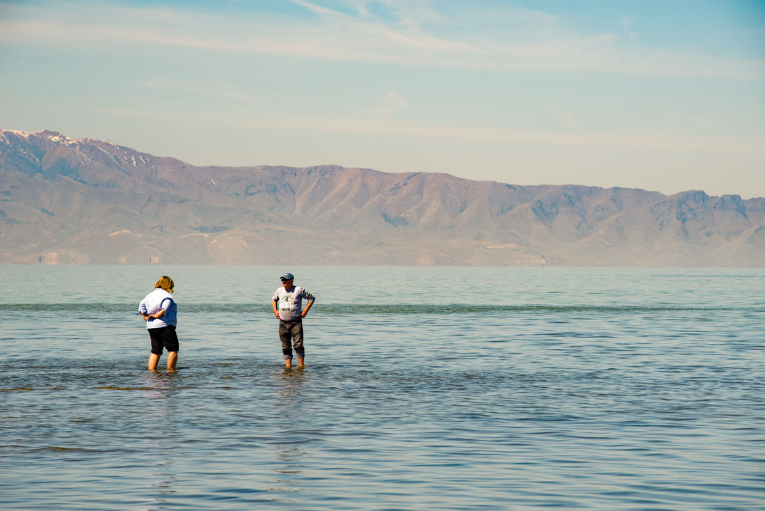
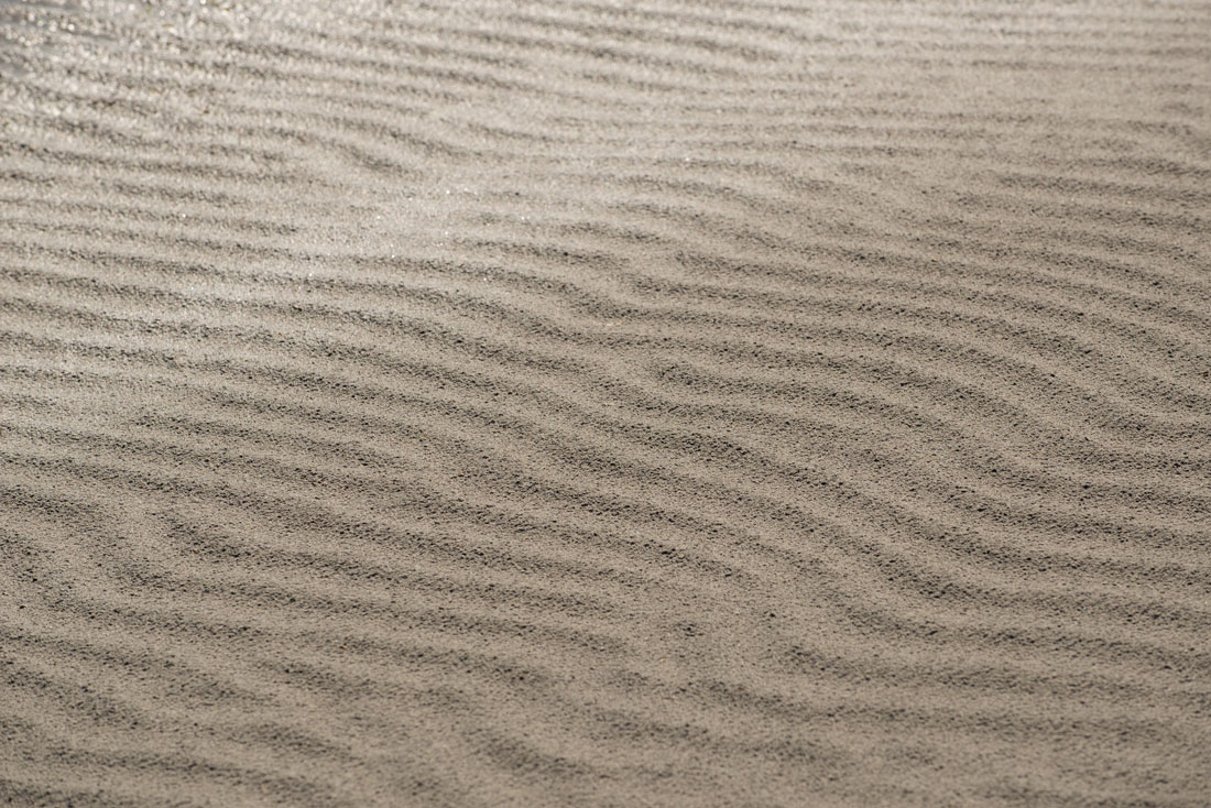
Salt on the beach at the Great Salt Lake, Utah.
Photos by Forrest Anderson
The Great Salt Lake, the largest salt water lake in the Western Hemisphere, is often called America’s Dead Sea. The lake is not dead, but that doesn’t mean it couldn’t happen.
The 2,500-square-mile lake is at a historic turning point. Data collected since 1847 indicates the lake is steadily drying out because of drought and water diversion from its three main tributary rivers, the Bear, Weber and Jordan rivers. Researchers who have studied it say that Utah, where the lake is located, has a choice. It can spend millions of dollars and make public policy changes that will reverse the damage, or it can spend billions of dollars restoring the lake. There is no cheap option.
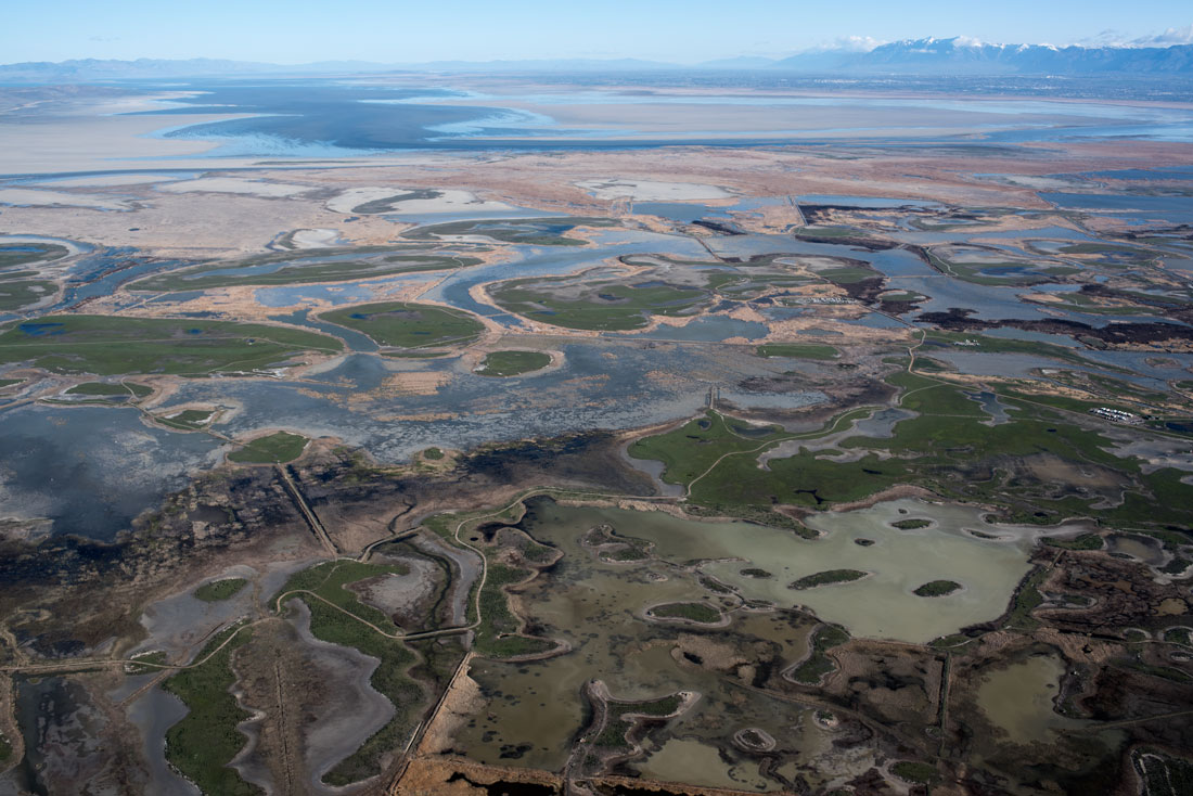
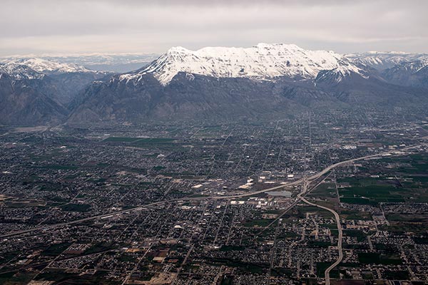
The shallow lake from the air. It has shrunk by almost 50 percent since it was at its highest level in 1983.
Utah’s officials are listening, implementing water conservation campaigns, making changes in old water rights laws to encourage the return of water from the tributaries to the lake and making plans to increase the flow of water into the lake by 20 percent.
But the urban areas near the lake are growing rapidly and the state’s population is poised to double by 2065. How the lake is managed during that time will determine how well Utah balances the fragile ecosystem of which the lake is a part with public health and the economy. If the state fails to protect the lake, the consequences could be catastrophic for all three. If it succeeds, it could become a global model for protection and management of salt water lakes.
This is no small task – salt water lakes worldwide are shrinking, the most catastrophic by 95 percent - into dry lake beds that generate choking dust, destroy ecosystems, and wipe out lakeside industry, tourism and agriculture.
Cautionary tales for Utah are the catastrophic drying of Owens Lake in California, Lake Urmia in Iran, the Dead Sea between Israel and Jordan, and the Aral Sea in Kazakystan and Uzbekistan. Of nine Western saline lakes, more than half have decreased by 50% to 95% from their earliest recorded levels to present.
Water from Owens Lake was almost entirely diverted to Los Angeles in the early 20th century. Farmers diverted more water for irrigation until by 1926, the lake was dry. It left a salt flat that became the largest source of particulate pollution in the country, with dust from it creating levels of particulates 100 times the safe federal air standard. Los Angeles has spent more than $2 billion to mitigate the dust from the lake, with an additional $25 million annually for maintenance, mostly for water that has to be trucked in and sprayed across the dry lake bed to dampen the dust. The Great Salt Lake is nineteen times the size of Owens Lake.
Another California lake, the Salton Sea, has been severely impacted by water diversions. The Salton Sea was once a major nesting site for 400 species and millions of birds, but is losing 40 percent of its inflowing water to diversion to Southern California.
Lake Urmia in northern Iran, once the Middle East’s largest saline lake, has shrunk 80 percent in the past three decades. Its acute salinity has caused blooming algae that has turned the lake red. Birds that once migrated to the lake are mostly gone, along with brine shrimp. Salty dust from the lake bed blows onto nearby farmland, making the soil infertile. Residents of the city of Tabriz, Iran, suffer from respiratory illnesses from the dust storms originating at the lake.
Meanwhile, the Dead Sea has dried up so much that 5,000 sinkholes have opened up in the area, swallowing up infrastructure.
Dust from exposed lakebeds has been linked to esophageal cancer and respiratory illnesses near four saline lakes. Mitigating these effects has cost billions of dollars. The initial reclamation of the Dead Sea alone will cost $11 billion. Tens of thousands of jobs have been lost because of increased salinity of the lakes and nearby agriculture. Bird populations have declined. Property values have dropped. Tourism and recreation industries are at risk or have tanked.
Taking action after a lake’s drying reaches crisis level is not only costly, but cannot restore all of the environmental and community damage.
The Western hemisphere’s network of wetland habitats for migrating birds is threatened because every saline lake in the West is at risk of drying. The Great Salt Lake is a centerpiece in that network, with more than seven million birds using it annually.
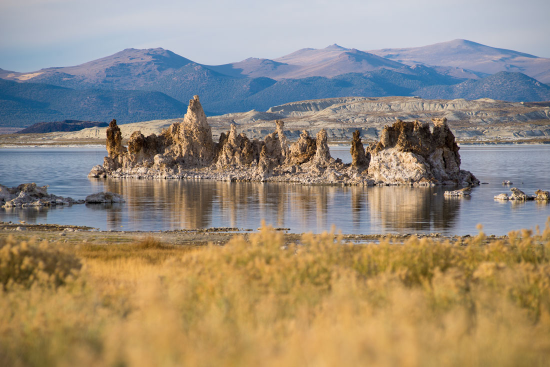
Mono Lake in California is another saline lake that lost 45 percent of its volume because of diversions of water from its tributaries.
Utah’s officials have commissioned a comparative study on the various distressed saline lakes around the world. Iranian and U.S. scientists are working together to research ways to restore Lake Urmia and the Great Salt Lake.
The Great Salt Lake is the largest lake between the Great Lakes and the Pacific Ocean and the eighth saltiest body of water in the world. It is at the lowest point in a large shallow basin with no outlet. As fresh water with low salinity pours into it from the tributaries and other minor streams, it is trapped in the lake. When water evaporates, it leaves behind the salt that gives the lake its name. The tributaries deposit more than a million tons of minerals into the lake annually. The mineral content is steadily increasing.
The lake is one of four in the area that are remnants of a great Ice Age body of water called Lake Bonneville that was ten times the size of the Great Salt Lake and covered most of Utah and parts of Idaho and Nevada. It eventually drained partially through Red Rock Canyon in Idaho, and then shrank further as the climate warmed.
The shallow Great Salt Lake’s size and levels have fluctuated dramatically throughout its history, although the long-term trend has been downward in recorded history. At its lowest level in 1963, some of its ten main islands became peninsulas. At its highest level in 1983, it flooded the nearby freeway, houses and farmland and huge pumps were used to pump water into the western desert for about six years. The lake now covers 50 percent of the land that it did at that point.
The drying process has been accelerated by breakneck development in recent years along the Wasatch Front of the Rocky Mountains that has drawn water away from the tributary rivers.
The lake has been called America’s Dead Sea partly because its salty water means that little can live in it except for algae, brine shrimp that are harvested and sold in Asian markets as prawn food, brine flies and bacteria. The name is a misnomer, though, because the lake is the living, breathing center of an international ecosystem that sustains millions of birds and other wildlife as well as determining life-giving weather patterns over a vast area.
In its own way, the lake breathes. When it expands during wet periods, its shorelines creep into miles of wetlands. As the lake recedes, it leaves muddy pools in the wetlands behind. The fluctuating lake thus sustains wetlands that are among the most important habitats for migrating and nesting birds who fly in from as far away as Chile and Argentina in the spring, then return to the south for the winter. This system is one of the globe’s most important networks for migrating birds. It provides habitat for more than 50 percent of the world population of some birds. Several bird refuges are run by government and private organizations on the lake’s shores. Their scope is stunning – acre after acre of wetlands stretching toward the shallow lake. Last month, Utah Gov. Spencer Cox signed a bill into law to enhance protection for migratory bird habitats, some of which are along the lake and are essential to maintaining key webtlands and water inflows.
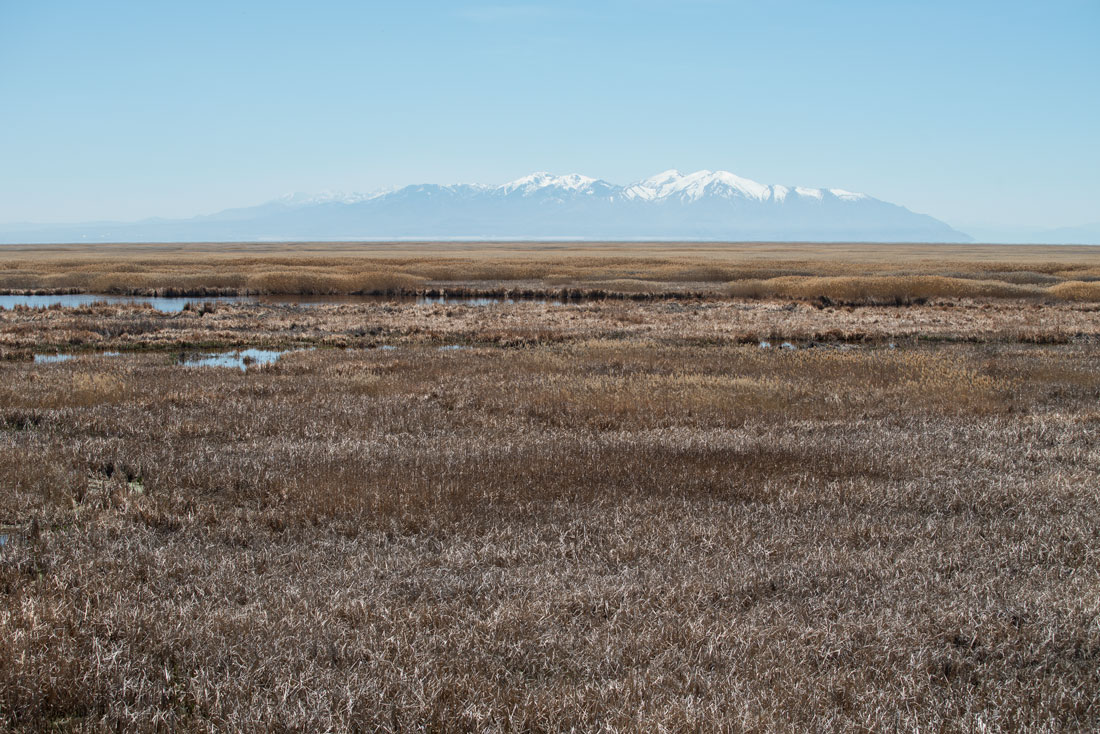
The Great Salt Lake Shoreland Reserve of acres of wetlands with the housing development and mountains behind it.
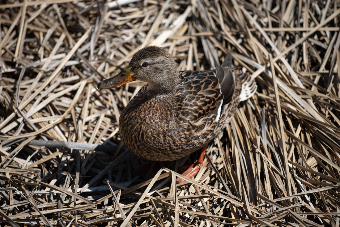
A duck at the reserve and, below, acres of wetlands in the reserve stretching toward the lake.
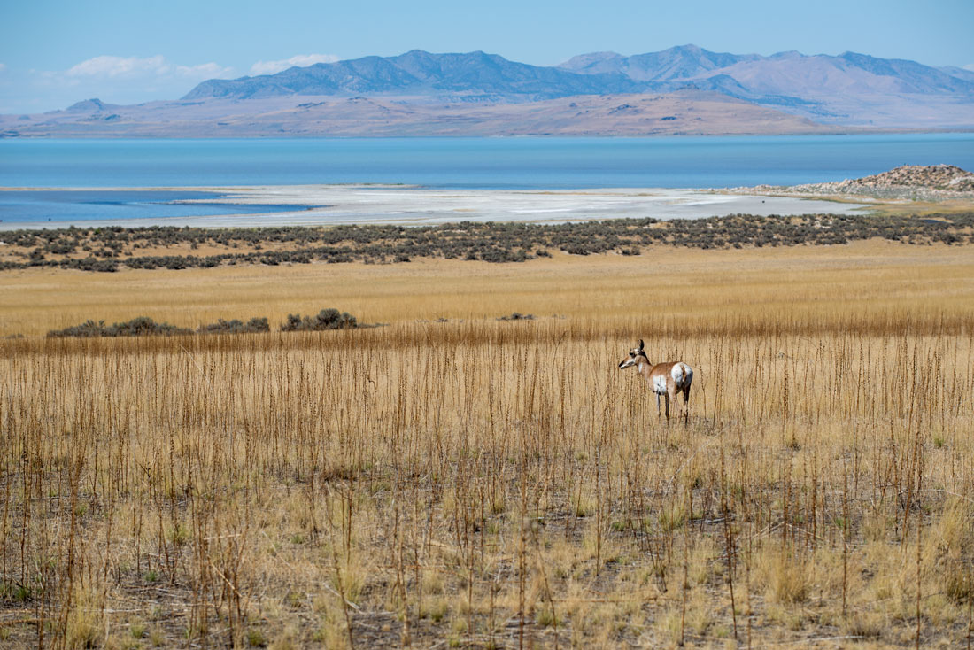 On Antelope Island, buffalo, antelope, deer, bobcats, coyotes and elk roam.
The lake is so central to Utah’s natural ecosystem that it causes snowfalls in the late fall, winter and spring that help give credence to Utah’s slogan of “the greatest snow on earth.” Cold north, north-west, or west winds blow across the lake after a cold front. The temperature difference between the warm lake, which doesn’t freeze because of its salinity, and the cool air form clouds that dump spectacular snowfalls in the mountains to the east. This makes Utah’s mountains among the finest skiing and snowboarding locations. During the summer, the temperature differences can cause thunderstorms to form over the lake and drift eastward along the northern Wasatch Front. It is estimated that 10 percent of the average precipitation of Salt Lake City can be attributed to this lake effect.
Utah is known for its weird, wild natural wonders, and the Great Salt Lake is among its most popular tourist destinations. Its best beach, Bridger Bay Beach on the north shore of Antelope Island, is where people go to lie back and bob on the lake because the saltiness prevents them from sinking. Antelope Island State Park and Great Salt Lake State Park are both on the lake. Antelope Island has clean beaches, a visitor center, a marina, a historic ranch house, buffaloes and camping. The Great Salt Lake State Park has a marina.
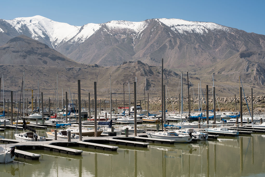
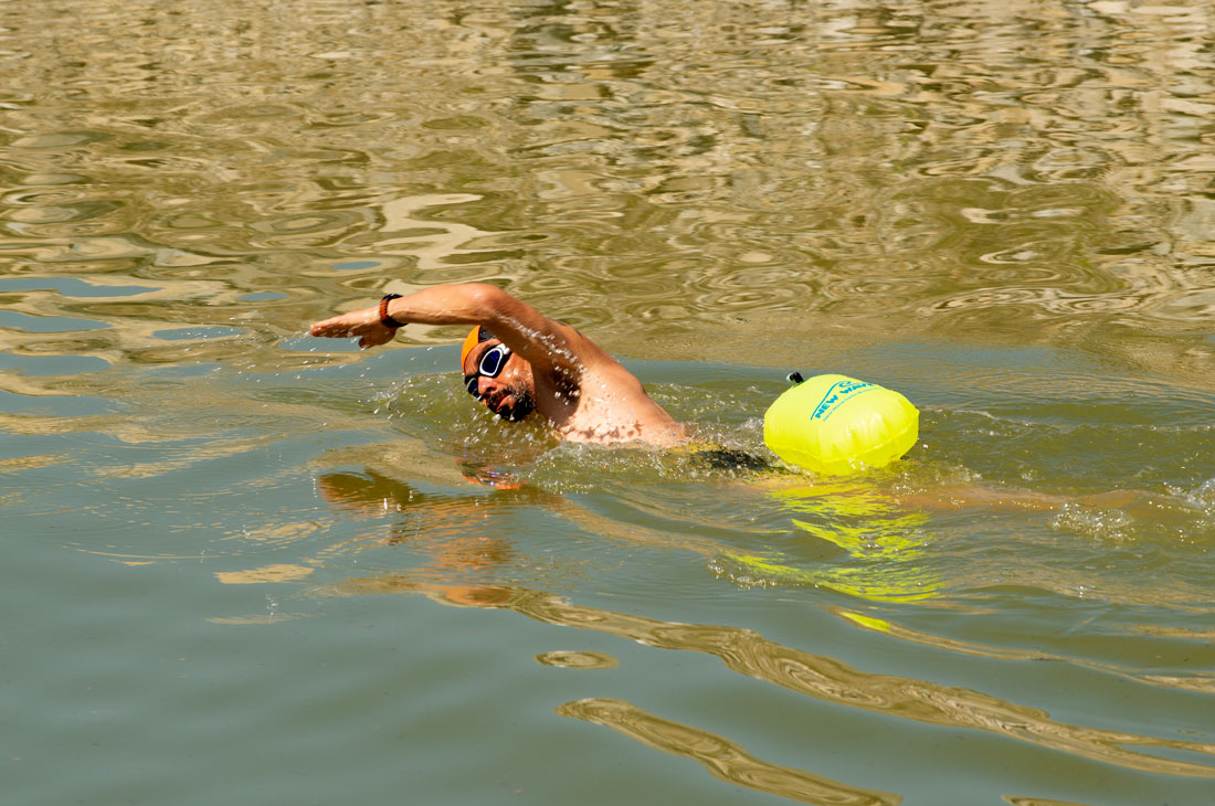
The Great Salt Lake Marina and, below, the lake on the south shore and a swimmer at the lake.
Sailing is popular on the lake, including racing. When the weather is overcast, the lake and sky blend into each other and it looks as though the boats and islands are floating in the air. Because even a moderate wind can cause the water to be rough, the lake requires experienced sailors. Motor boats also are used, but the motors have to be flushed carefully after use to prevent damage from salt water. Kayaking also is popular along the lake’s shoreline as a means of seeing places that otherwise can’t be seen. Mountain biking and hiking trails are popular on Antelope and Stansbury islands.
For thousands of years, the ancestors of the Shoshone, Ute and Paiute Native Americans lived near the Great Salt Lake along streams that emptied into the lake. Utes told Spanish explorer Silvestre Vélez de Escalante about the lake in 1776 and he wrote the information down. Some early explorers thought they had hit an extension of the Pacific Ocean when they came across the lake. In 1824, explorers Jim Bridger and Etienne Provost independently observed it. Other trappers walked around it and gave oral reports to people who wrote about them. In 1843, John C. Fremont led a scientific expedition to the lake, but the entire lake wasn’t surveyed until Howard Stansbury did so in 1850. Stansbury Island in the lake is named for him.
In the meantime, pioneers led by religious leader Brigham Young began to settle in the Salt Lake Valley southeast of the lake in 1847 and wrote their own accounts of the lake. They gave their new city the name Great Salt Lake City, which later was shortened to Salt Lake City. The city is located between the lake and the Wasatch Mountains.
Like many large lakes, the lake has a legend that involves a terrible monster with a huge head living in its depths. Some suspect that the people who reported the monster in 1877 actually saw a buffalo emerging from the water.
The lake is shallow – only about 20 feet deep in most places and with a maximum depth of 33 feet.
The lake has been divided into three parts by a railway causeway that obstructed normal mixing of the lake waters. Only a few minor streams flow into the northwest arm, Gunnison Bay, so it is much saltier than the rest of the lake. It is a different color than the other two parts because a different type of algae grows in the saltier water. A bridge built in 2016 allowed water to flow from the southern part of the lake into the northwest part, which has evened out the levels on both of those parts of the lake.
Because the lake’s water level fluctuates, the number of islands also does. An island can be covered in a wet year or become a peninsula in a dry one. Eight islands have never been totally submerged since records of the lake began. Last fall, the non-profit Paladium Foundation acquired Fremont Island, the Great Salt Lake’s third-largest and only privately owned island, from developers who had envisioned a 12,000-unit subdivision on the island. The moves sets the stage for the island’s permanent protection.
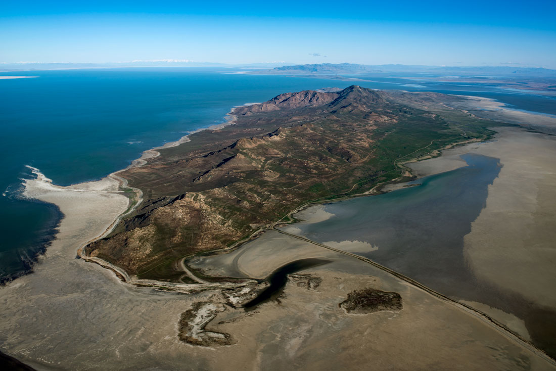
Antelope Island in the lake, with dry spots of lake bed around it.
The salinity of the lake's main basin, Gilbert Bay, is variable depending on the lake's level and ranges from 5 to 27%. By comparison, the ocean’s average salinity by comparison is just 3.5 percent while the Dead Sea’s salinity is 33.7 percent. A portion of the lake in the northeast, called Willard Bay Reservoir, is filled with fresh water from the Weber River. In the two bays that receive most of the lake's fresh water inflows, Bear River Bay and Farmington Bay, salinity approaches that of fresh water when spring snow melt brings water into the lake. As a result, a variety of animal live there.
Toxic amounts of methyl mercury have been found in the lake and throughout the lake’s food chain, possibly from mines that use cyanide leaching and ore roasting to gather gold specks. A 2010 study concluded that the main source was from worldwide industry dispersing the chemical in the atmosphere rather than local. Hunters were advised not to eat two species of ducks found in the lake. Seven other species of duck were found to have levels of mercury below Environmental Protection Agency guidelines, making them safe to eat.
The Great Salt Lake directly contributes $1.3 billion annually to Utah’s economy, including $1.1 billion from industry (mostly mineral extraction), $136 million from recreation, and $57 million from brine shrimp.
Solar evaporation ponds at the lake edges produce salts and brine. The extracted salt is used in water softeners, salt lick blocks for livestock, and salt to melt ice on roadways. The lake does not produce food grade salt, which would be costly to purify. The lake also produces potassium sulfate, used as a commercial fertilizer; and magnesium-chloride brine, used in the production of magnesium metal, chlorine gas, and as a dust suppressant. US Magnesium’s plant on the southwest shore produces 14% of the world’s magnesium. Mineral-extraction companies on the lake pay royalties on their products to the state, which owns the lake.
The lake provides 35-44 percent of the world’s brine shrimp, which are mostly sold in East Asia and South America.
Three versions of the Saltair resort on the shores of the lake have been operated since the 1890s, two of which burned. The current one is a concert venue. Another resort on the shores of the lake burned in 1904.
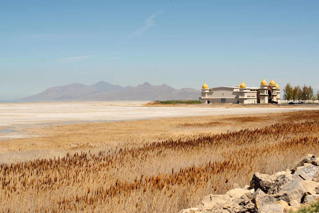
Beach and wetlands around the Saltair resort on the shore of the lake. The resort was flooded in 1983, when the water level was at a record high.
West of the lake is a huge desert that is almost totally white with salt because it was once part of Lake Bonneville. The interstate highway runs straight for almost 50 miles across these salt flats. The Bonneville Flats in the area was the location for world land speed racing records in the 1950s-70s. The surface has since deteriorated and land speed racers have moved elsewhere.
Experts with the Utah Division of Forestry, Fire and State Lands point to the serious air pollution problems caused by wind-blown dust from the exposed lake bed as a wake-up call.
When the water recedes, the lake bottom is arid and creates the conditions for dust storms.
Based on current consumption patterns, the lake’s water levels could drop by an additional 11 feet. But a recent study suggests that water users, by dropping their per-gallon-per-day consumption by 50 gallons, could delay a proposed project to siphon more water that feeds into the lake by as much as 45 years or longer.
Predictions of economic losses caused by a greatly diminished lake could be as high as $2.17 billion per year. More than 6,500 jobs in industries directly related to the lake would go, but the ripple effect on the economy would be far greater. Conservation measures, smaller water development projects and new technology have delayed further diversions, but officials argue that more conservation, especially in lawn watering, is needed. Utahns who depend on public water supplies use the most water per capita in the United States, some 150-200 gallons per day per person. As a result, officials are asking Utah residents to run washing machines only when full, flush the toilet less, shorten shower times and cut back on lawn watering voluntarily. However, municipal and industrial water use accounts for just 11 percent of water use along the Wasatch Front.
Agriculture makes up 63 percent of the area‘s water use. Farms with vested water rights have historically been required by law to use their appropriations for legally defined “beneficial use” or risk their right to use that water. Agriculture is considered a beneficial use, but allowing appropriated water to return to its natural flow has historically not been. This left farmers with no incentive to conserve water and in fact penalized them for doing so. In 2019, a law passed allowing appropriated water to return to its natural flow without penalty. The state legislature also has worked on other changes to laws that will encourage conservation of water that farmers don’t need.
A study by Brigham Young University, the University of Utah and Middlebury College published in Chemical Geology found that 90 percent of the dust along the Wasatch Front comes from the dried lakebed. Tests on the dust include levels of arsenic that could pose a significant health risk, as well as eight other worrying contaminants. The dust causes asthma, pneumonia, contributes to harmful lake blooms and decreases runoff. Snowpacks in the Wasatch and Uinta mountains have been found to contain multiple dust layers. The dust contamination doesn’t allow snow to reflect the sun’s heat, accelerating melting and stunting the spring melt runoff.
Skiing and snowboarding are the largest attractions - bringing in tourism spending of some $1.5 billion annually in Utah.
To restore the lake to a healthy state would require about 29% of additional water resources being directed back into the lake’s tributaries and the lake itself. Reductions in water use from all sectors will be needed to do that. Increasing inflows from the Bear, Weber and Jordan Rivers by 20 percent will cost up to $96 million. This could be achieved through water right cutbacks, transferring water from one basin to another, trading water rights or leasing them to nonprofits or the lake directly. The question is whether the state wants to spend millions to ensure that water stays in the lake or billions later to mitigate dust and other environmental problems if the lake continues to dry up.
Check out these related items
How is Utah Changing?
The Utah population boom, fueled by economic growth and an image of a healthy, family-friendly state, is expected to be long-term.
Fire! Is this the new norm?
Are record wildfires the new norm in the West? As fires threaten homes and communities, here are answers to questions about them.
Mountain Men and the Fur Trade
The colorful annual mountain men rendezvous at Fort Bridger, Wyoming, commemorates the 19th century global fur trade.
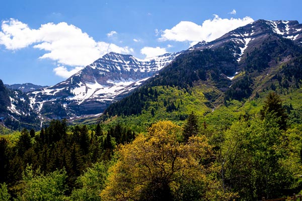
Springtime in the Rockies
It's springtime in Utah's Rockies. Photographer Forrest Anderson captured the stunning scenery.
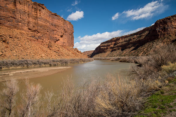
The River That Keeps on Giving
The mammoth Colorado River is the lifeblood of the southwest United States, supplying water and power for cities and agriculture.
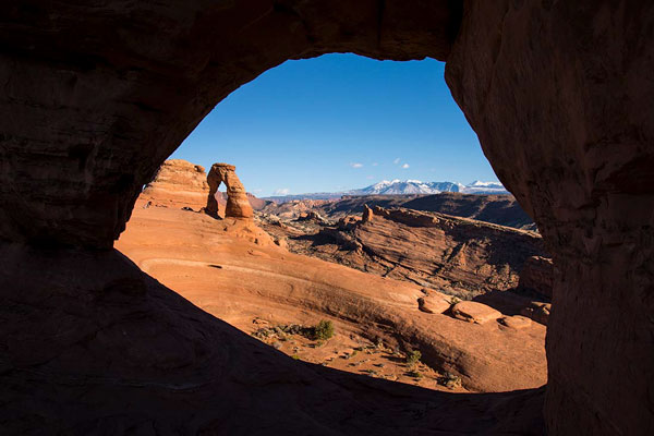
Visit Utah’s National Parks
Utah state and local governments and organizations are chipping in to keep national parks operating during the government shutdown.